

ADL Moto Viewer
Solution | 4G Telematics

Know where every vehicle is, what it is doing, and whether it is on plan.

BTRC Approved • BRTA Certified • 4G Dual-Network Ready

Commercial GPS fleet tracking engineered for Bangladeshi road networks. Track all vehicles on one live map, enforce route discipline with geofences, and use timestamped trip history for customer commitments, audits, and driver accountability.

Prefer messaging? Request a callback — our Dhaka team responds promptly on business days.

adl moto • live vehicle tracking
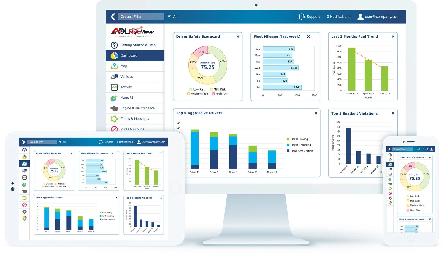
ADL Moto Live Vehicle Tracking Map & Fleet Telemetry Console
Live tracking
Alerts
Reports
Quick Answer

What is vehicle tracking for fleets in Bangladesh?

Vehicle tracking uses multi-GNSS hardware and cellular connectivity to show live location, route history, geofence alerts, and ignition events on a unified fleet dashboard. It is the foundation for dispatch control, SLA monitoring, and anti-theft recovery in commercial operations across Bangladesh.

Recommended Product

Hardware built for this solution

Start with our flagship device for Vehicle Tracking Solutions — engineered for high heat, voltage fluctuations, and heavy commercial duties.

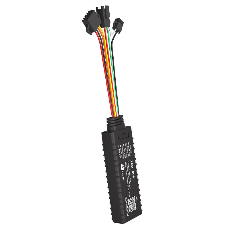
Flagship 4G Model ADL-S16 Wire 4G GPS Vehicle Tracker for Fleet Management
GS910 • 9–90V Range

ADL-S16 Wire 4G GPS Vehicle Tracker for Fleet Management

GS910 4G GPS Tracker is a compact commercial vehicle tracking device with real-time sub-10m positioning, ACC ignition detection, remote engine cut-off relay, geo-fencing, and 4G LTE connectivity with 2G fallback. Designed for automotive security and professional fleet management.

The Problem

When visibility is weak, dispatch becomes reactive and costs drift upward

  • 1 Dispatch teams spend time chasing updates from drivers instead of planning load flow and route exceptions.
  • 2 Delivery disputes and delay claims are harder to close when there is no clean trip timeline.
  • 3 Idle burn, route deviations, and after-hours movement continue unnoticed until month-end reports.
Bangladeshi Highway Traffic Congestion & Commercial Transport Bottlenecks
Fleet Analytics & Real-Time Tracking
The Solution

A daily operations layer for location, alerts, and accountability

Deploy 4G GPS trackers (wired or wireless magnetic based on vehicle type) and manage live operations from one dashboard. You get real-time position, exception alerts, and route playback with timestamps so dispatch, customer support, and management work from the same evidence.

  • Live location on one map — 4G updates every 2–10 seconds so dispatch sees speed, direction, and idle status without refreshing tabs.
  • Geofences that people actually use — Draw zones for depots, customer sites, or ports. Get SMS or app alerts the moment a vehicle enters or leaves.
  • Trip playback with timestamps — Replay any day’s route: stops, deviations, and timing — useful for client queries, RTO questions, or reviews.
What You Get

Capabilities that hold up in daily operations

Straightforward feature notes — no jargon wall. If something here matters to your fleet, we’ll show you how it works on a call.

Live location on one map

4G updates every few seconds so dispatch sees speed, direction, and idle status without refreshing five tabs.

Geofences that people actually use

Draw zones for depots, customer sites, or restricted areas. Get SMS or email the moment a vehicle enters or leaves.

Trip playback with timestamps

Replay any day’s route: stops, deviations, and timing — useful for customer queries, RTO questions, or internal reviews.

Alerts for what matters to you

Overspeed, harsh braking, ignition on/off, SOS, geofence breach — tune thresholds per vehicle or fleet.

Hardware that stays on the job

Tested devices, stable 4G, and fitments for cars, trucks, buses, and two-wheelers where applicable.

Web dashboard and mobile apps

Live map, alerts, and reports on browser or Android and iOS — so dispatch isn’t tied to one desk.

Real-World Use Cases

Built for Bangladesh road realities — from city delivery to heavy engineering

Typical commercial deployments — mapped to local enterprise fleet operations and regulatory compliance.

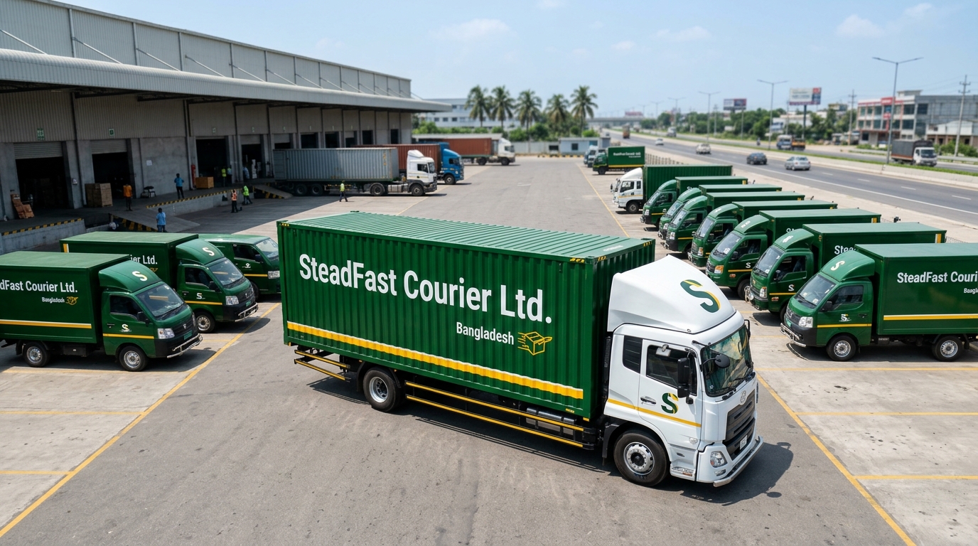
Steadfast Courier Delivery Van & Last-Mile Hub Logistics
01

Logistics & Last-Mile Delivery (Steadfast Courier)

Track delivery vans and courier hubs in real time, shorten “where is my parcel?” customer calls, and rely on automated geofences to confirm arrivals at sorting hubs or customer gates. Precision route playback settles delivery timing claims with a timestamped digital log.

Bangladeshi School Bus & Student Safety Monitoring Fleet
02

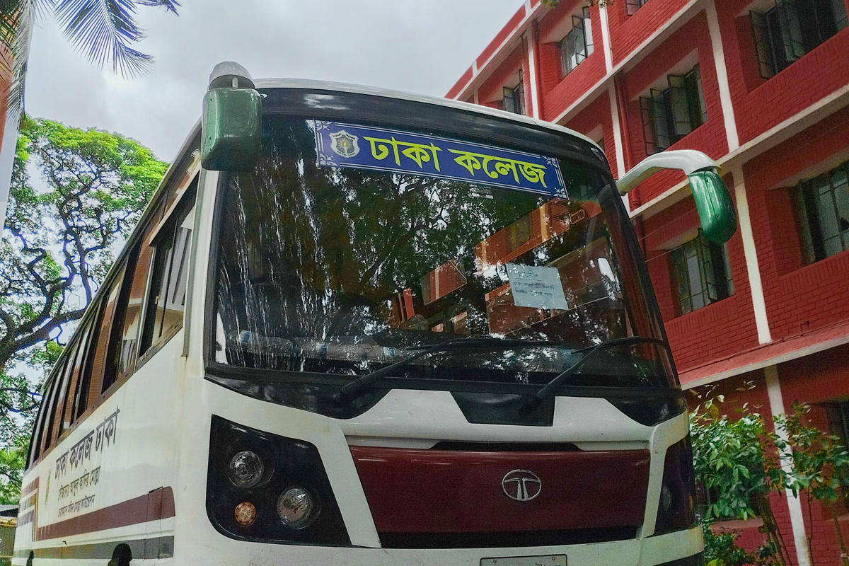
School Bus Safety & Student Transit

Parents and school transport supervisors monitor the bus live on an interactive map, get instant notifications when it enters or exits school pickup zones, and rely on strict speed and harsh braking alerts to keep drivers accountable along busy morning student corridors.

Kazi Farms Corporate Transport & Distribution Fleet
03

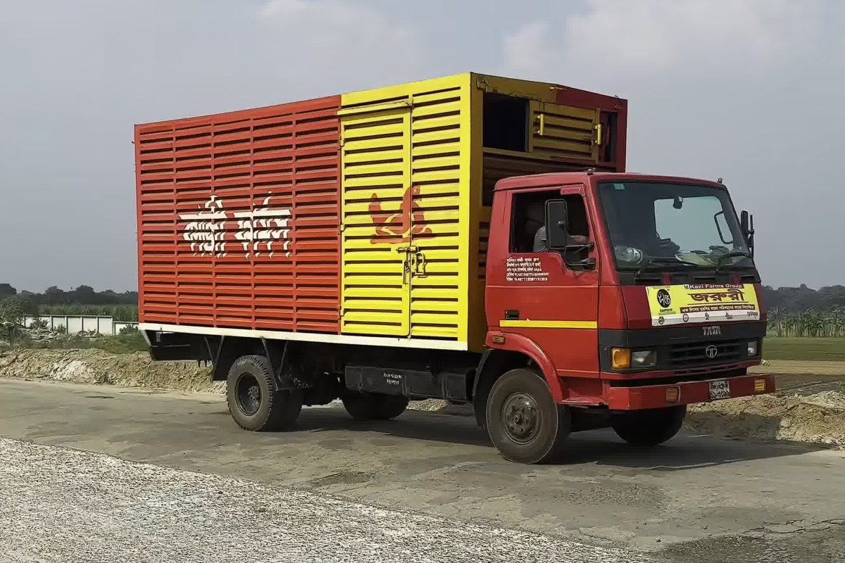
Corporate Fleet & Agro Transport (Kazi Farms)

Manage executive pool cars, regional supervisor transport, and Kazi Farms agro distribution fleets across nationwide hubs. Automated alerts detect weekend or after-hours vehicle misuse, curb unwarranted fuel wastage, and maintain detailed odometer servicing logs across all divisions.

Sara Express Luxury Interdistrict Passenger Coach
04

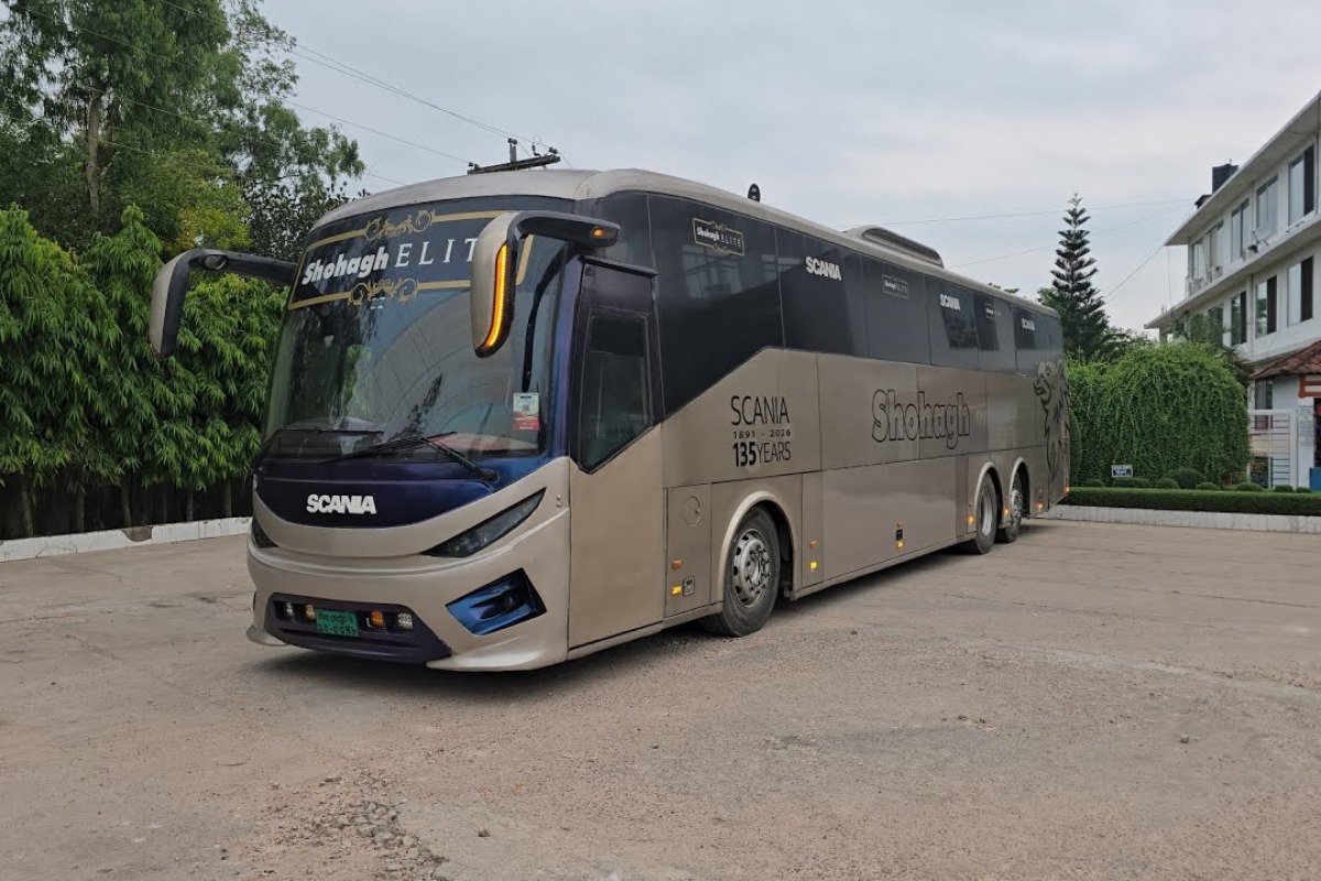
Transport & Interdistrict Bus Operators (Sara Express)

Run scheduled interdistrict routes like Sara Express with automotive-grade 4G telematics. Track route schedule adherence in real time, provide dynamic ETAs for passengers, monitor highway speed compliance, and grant central dispatchers a single unified view across all regional terminals.

NDE Construction & Heavy Equipment Fleet Bangladesh
05

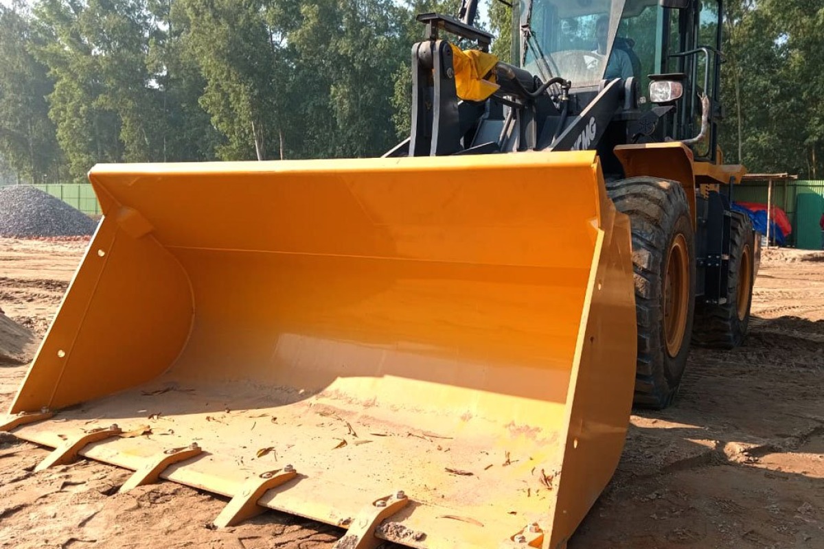
Construction & Heavy Machinery (NDE Engineering)

Follow concrete transit mixers, dump tippers, cranes, and heavy excavators for national leaders like NDE across mega project sites. Cut non-working idle fuel burn, catch off-hours equipment usage, and geofence batching plants and quarries so operating times match actual site progress.

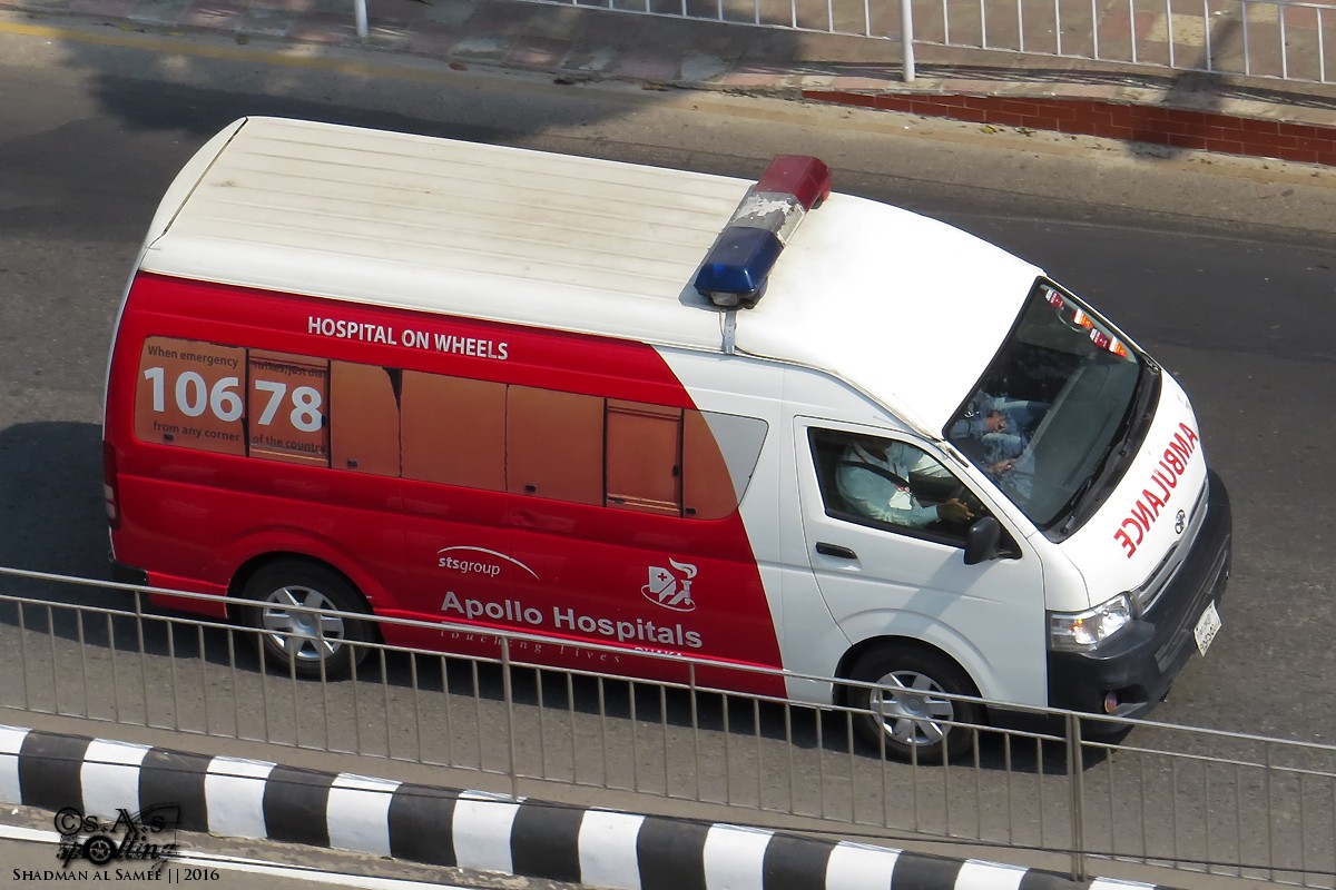
Hospital Emergency Ambulance & Healthcare Response Fleet Bangladesh
06

Emergency Services & Hospital Ambulance Fleets

Rapid dispatch coordination and traffic-responsive navigation for hospital emergency ambulances across Dhaka and inter-district patient transfers. Live GPS telemetry provides hospital ER teams with dynamic arrival times and empowers central dispatch to send the closest available unit instantly.

Field Sales Distribution & Technical Service Vans
07

Field Sales & Technical Service Distribution Teams

Empower sales managers and dispatch officers with clear territory visibility over field distribution vans and maintenance teams. Track client visit frequency, verify daily sales beat coverage, reduce unauthorized detour mileage, and ensure timely depot check-ins every evening.

How vehicle tracking works in Bangladesh

Commercial vehicle tracking in Bangladesh operates on 4G LTE cellular backhaul with multi-GNSS positioning (GPS, BDS, GLONASS). Devices capture latitude, longitude, speed, heading, and ignition context, transmitting packets to the cloud every 2–10 seconds during motion.

For operations teams, the practical outcome is a single event stream: live map, route playback, geofence entry/exit, overspeed, idle, and SOS alerts that dispatch, security, and customer service can reference without calling the driver for every update.
Wired vs Wireless Magnetic GPS trackers

Choose fitment based on power access, tamper risk, and how quickly the unit must be moved between vehicles.

Tracker type Best for Install Tamper risk
Wired (e.g. GS910) Trucks, buses, company cars with stable power 45 mins; 9–90V typical Lower — hidden install + immobilizer
Battery-powered Trailers, assets, temporary assignments Instant; magnetic mount Medium — depends on mount and enclosure

ROI narrative: where fleets recover cost

ROI should be modeled with explicit operational assumptions. Bangladeshi fleets review four levers together:

  • Fuel & idle: Identify vehicles with repeated off-route idle or excess stoppage minutes on highway corridors.
  • Theft & misuse: Geofence depots and investigate after-hours ignition without approved assignments.
  • SLA & customer updates: Reduce “where is my load?” calls with shareable live ETAs backed by playback.
  • Worked example: A 20-truck operator cutting idle by one hour per truck daily saves significant diesel spend within the first quarter.

Implementation timeline: pilot to scale

  1. Week 1 — Discovery: Vehicle mix, voltage profiles, reporting owners, and integration targets.
  2. Week 2 — Pilot install: 5–10 vehicles across representative routes; validate map accuracy and alerts.
  3. Week 3–4 — KPI window: Measure idle, geofence compliance, and dispute resolution against baseline.
  4. Week 5+ — Phased rollout: Depot-by-depot install, user training, and alert routing by role.
See it in action

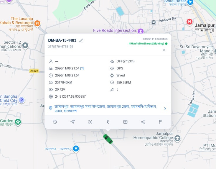
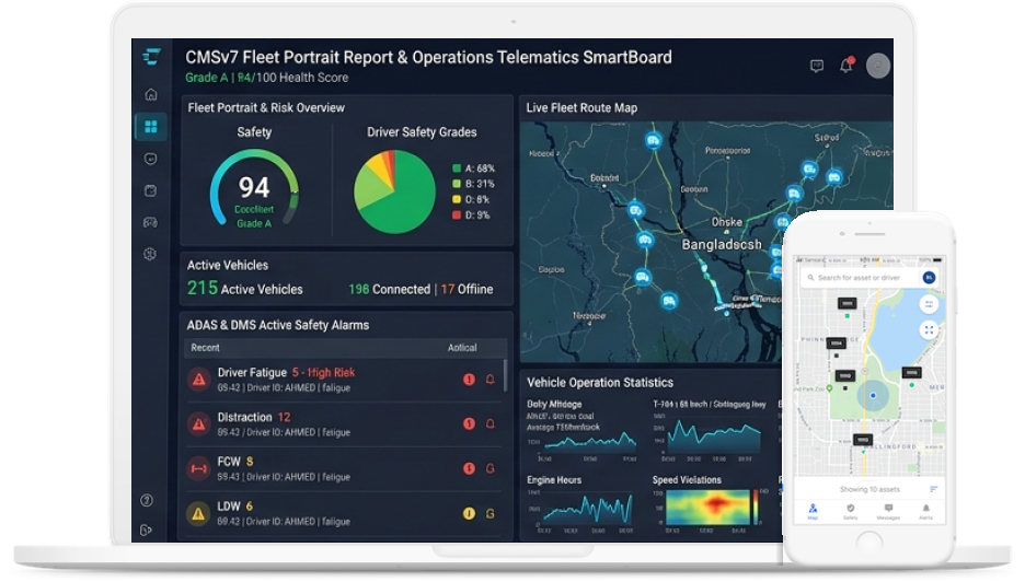
Live map, event feed, and trip evidence in one view

Operational teams can see route progress, filter alerts, and verify what happened on any trip without switching tools.

Real-Time Fleet GPS Live Map & Route Playback Dashboard
Industries

Where teams deploy Vehicle Tracking Solutions

Logistics & Delivery Transport & Bus Companies Corporate Fleets School Buses Government Vehicles Rental & Leasing
ROI & Outcomes

Lower operating leakage and faster decision cycles

Fleets use this to reduce unnecessary kilometres, improve ETA confidence, and answer customer or audit questions with reliable records.

Reduce unauthorized movement and idle leakage by monitoring route and stoppage behavior in real time.
Improve ETA reliability and customer communication with shareable live trip visibility.
Strengthen accountability across dispatch, drivers, and supervisors using a shared event timeline.
Support compliance and audit workflows with exportable trip, speed, and geofence records.
Lower preventable operating waste when route discipline and exception handling are standardized.
Resolve delivery disputes faster using timestamped playback rather than manual reconciliation.
How It Works

From install to insight

1

Install & connect

Fit the device to the vehicle — wired or wireless magnetic.

2

Sync to cloud

GPS and events stream securely over 4G networks.

3

Use one portal

Maps, reports, and alerts in the same login — web and mobile.

A GPS unit is installed on each vehicle by our certified technician (takes 45–60 mins per vehicle). Data automatically begins streaming to your ADL Moto command portal immediately.
FAQ

Questions, answered

It is GPS-based monitoring of where your vehicles are, how fast they’re moving, and how they behave on the road. Data streams over cellular networks to a cloud platform where you view maps, set geofences, and receive alerts — no need to phone the driver for updates.
Under normal conditions our 4G trackers typically land within about 5–10 metres. In open corridors with good sky view it can be even tighter. Update frequency is every 2–10 seconds during motion.
Yes. Our commercial-grade hardware is designed for local operating conditions including temperature variation, high engine heat, vibration, and long continuous duty cycles.
Cars, pickups, trucks, buses, two-wheelers, and heavy machinery. We offer wired installs, OBD plug-ins, and battery-powered options where wiring isn’t practical.
Installation is typically under one hour per vehicle. Once the unit is powered, live coordinates show up on your dashboard within minutes of fitment.
Yes — native Android and iOS apps for live tracking, alerts, and trip history on the go.
The device buffers up to 30,000 waypoints in on-board flash memory and syncs them as soon as cellular coverage returns.
Implementation Readiness

Timeline, SLA & Integration Playbook

Implementation timeline baseline

Discovery, sample pilot deployment, KPI validation window, then phased full fleet expansion.

Support SLA assumptions

Incidents triaged by operational impact. Dedicated Dhaka helpline with on-ground field service.

ROI model assumptions

Explicit baseline measurement on diesel idling, private trips, and dispute reduction.

Integration playbook

REST API endpoints and webhooks for TMS, SAP, ERP, and internal accounting systems.

Sources & Compliance Context

Telematics equipment and SIM telemetry operate in full accordance with Bangladesh Telecommunication Regulatory Commission (BTRC) wireless telecommunications standards and BRTA commercial transport guidelines.

Written by: ADL Moto Engineering Team
Reviewed by: Head of Telematics Solutions
Last verified: 2026
Next Step

Ready to see Vehicle Tracking Solutions on your fleet?

Book a demo tailored to your vehicles, routes, and operational requirements. Our specialists respond fast — usually within business hours.